Publisher description
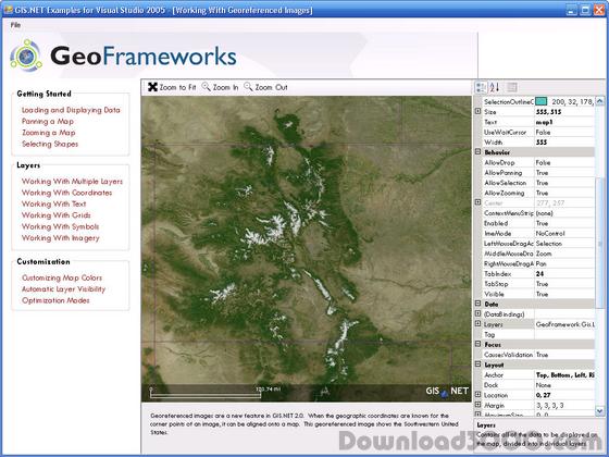
ESRI shapefiles are one of the most popular spatial data formats for describing features on Earth's surface. This plug-in adds support for ESRI shapefile data in GIS.NET. Quickly load, modify and save shapefile data, including vector information (.SHP) as well as annotations (.DBF). Shapes are loaded in a form which can be instantly displayed in a GIS.NET map on any desktop, PocketPC, Smartphone or Windows Mobile 5 device! The ESRI Shapefile Plug-In for GIS.NET supports all of these features: LIMITED TIME: This plug-in is included FREE with the GIS.NET 2.0 mapping component! Full support for desktops, PocketPC, WindowsCE, Smartphone and Windows Mobile. Automatically detects whether data is stored in UTM or latitude/longitude coordinates. Automatically selects the best bulk transfer rate to load and save files as fast as possible. Automatically loads annotations from ".DBF" files and links them with shapes from ".SHP" shapefiles. Multithreaded design can load large shapefiles in the background. Stream-based architecture allows loading of shapefiles from disk, networks, or any other .NET Stream! Supports an unlimited number shapes, limited only by available memory. Dynamic Help and IntelliSense for Visual Studio.NET Windows Mobile™ certified Unlimited, royalty-free redistribution! Download a free 30-day trial now and see just how fast GIS.NET can get your application working with ESRI shapefiles!
Related Programs

Windows Mobile Pocket PC Barcode DLL 5.0
Pocket PC Barcode DLL for Compact Framework.

Shape X 2.0
Intense 3D objects bounce around your screen.

Shape Art 1.00.7
Shape Art let your kids imaginations run wild

Shape Solitaire 1.0
Shape Solitaire is a new unique card puzzler.

Fraction Shape-Up 1.00
Helps students understand fractions.

